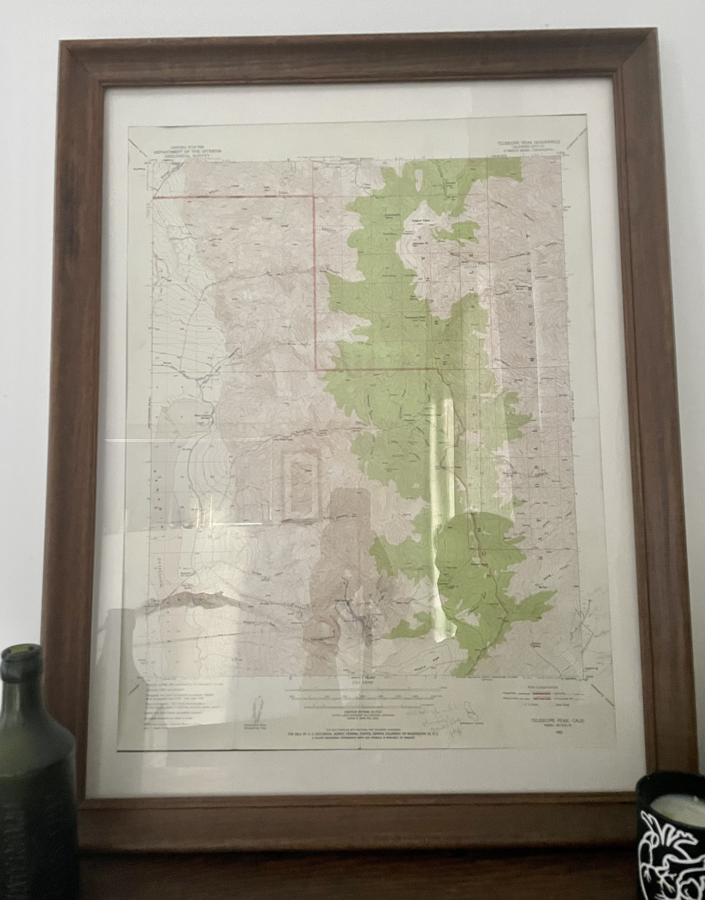
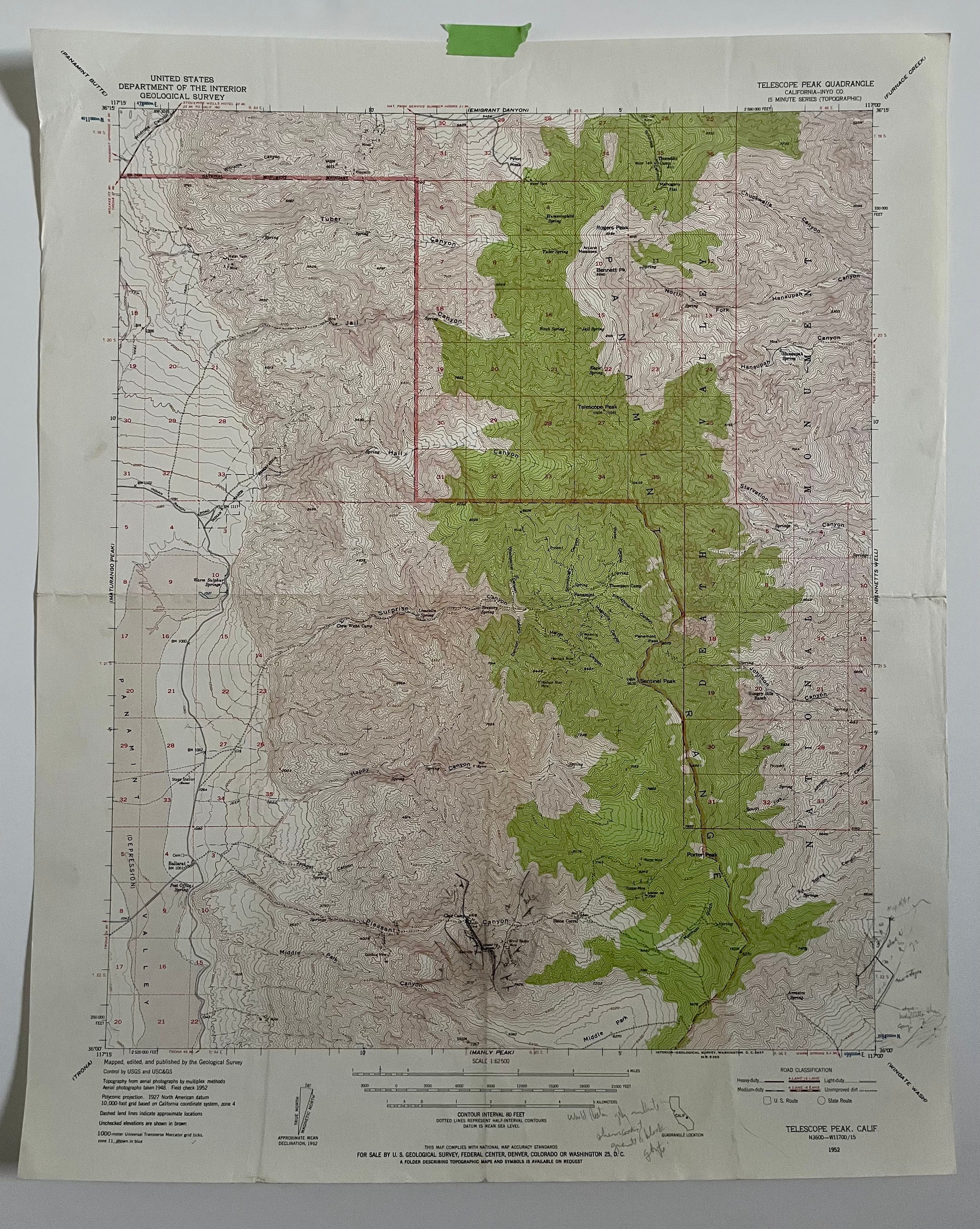
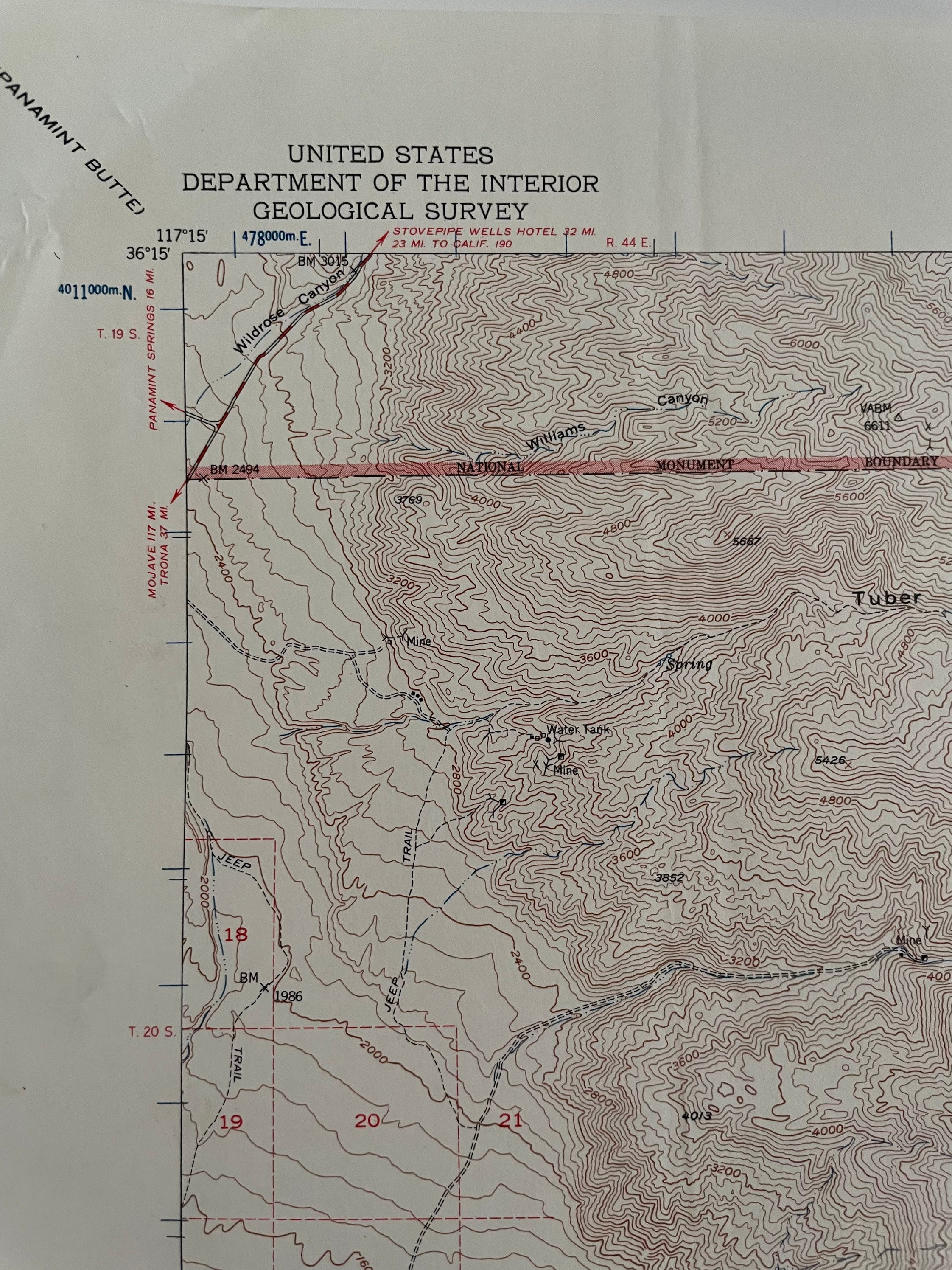
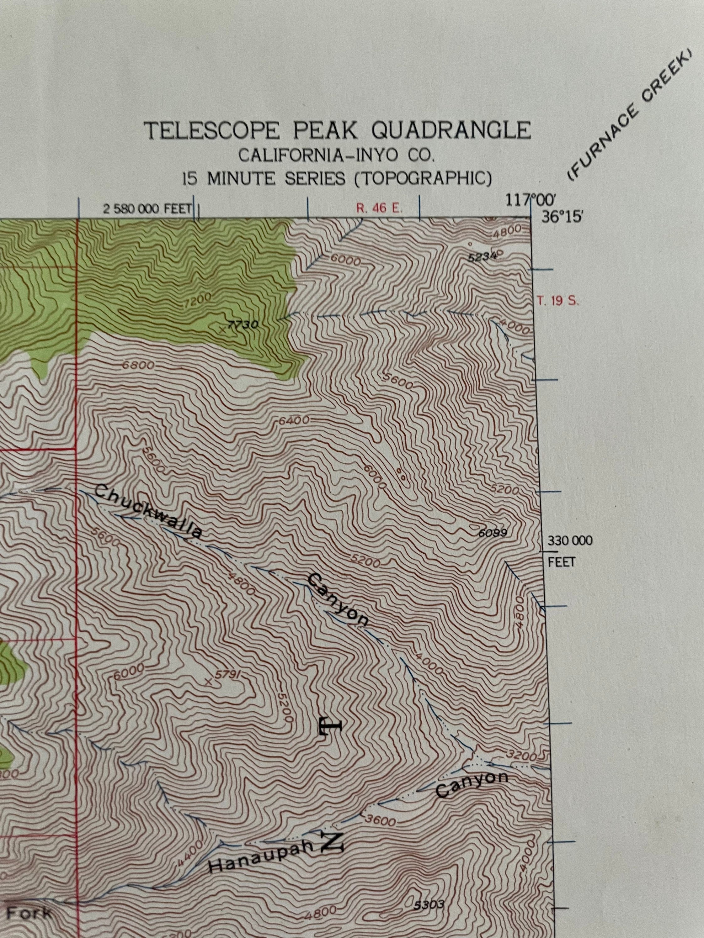
Death Valley National Monument, the Mojave desert, and Telescope Peak, California Historical 1950's topographic map
$75.00
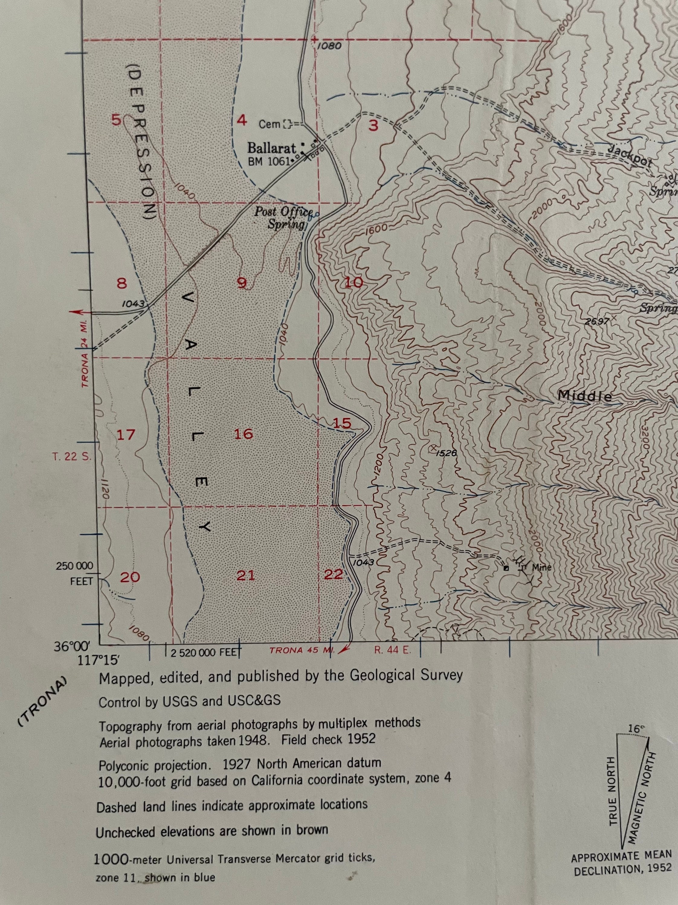
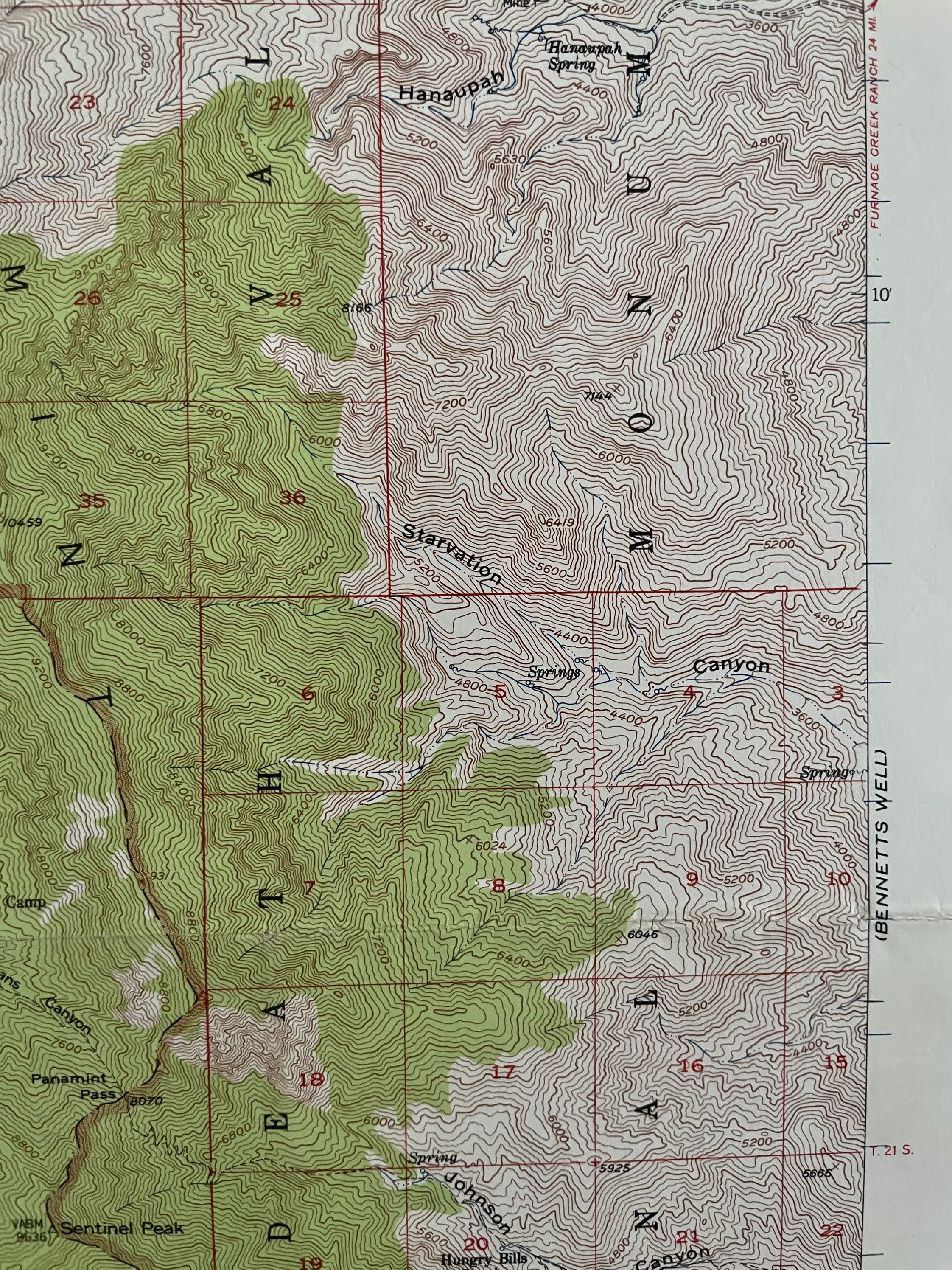
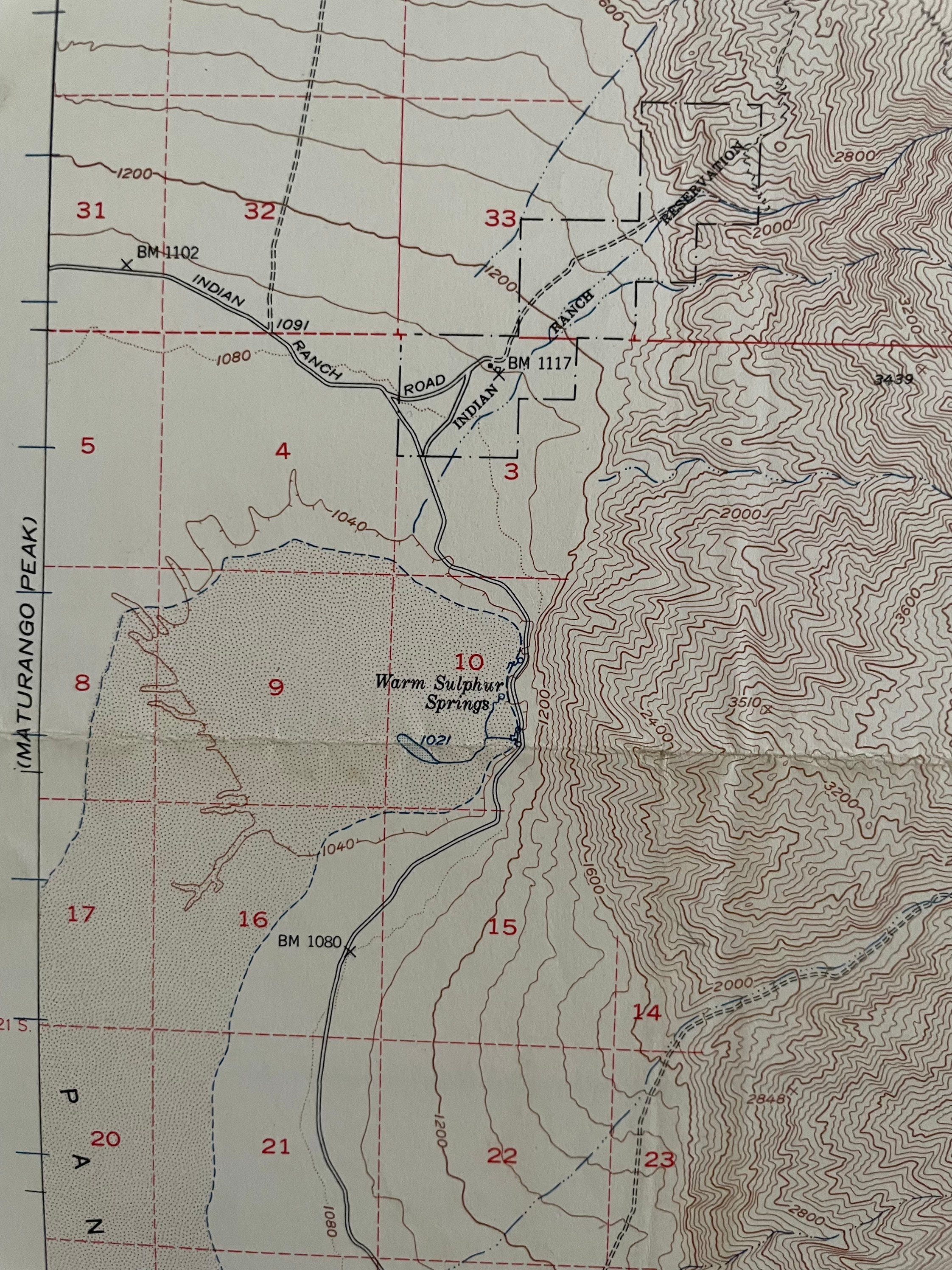
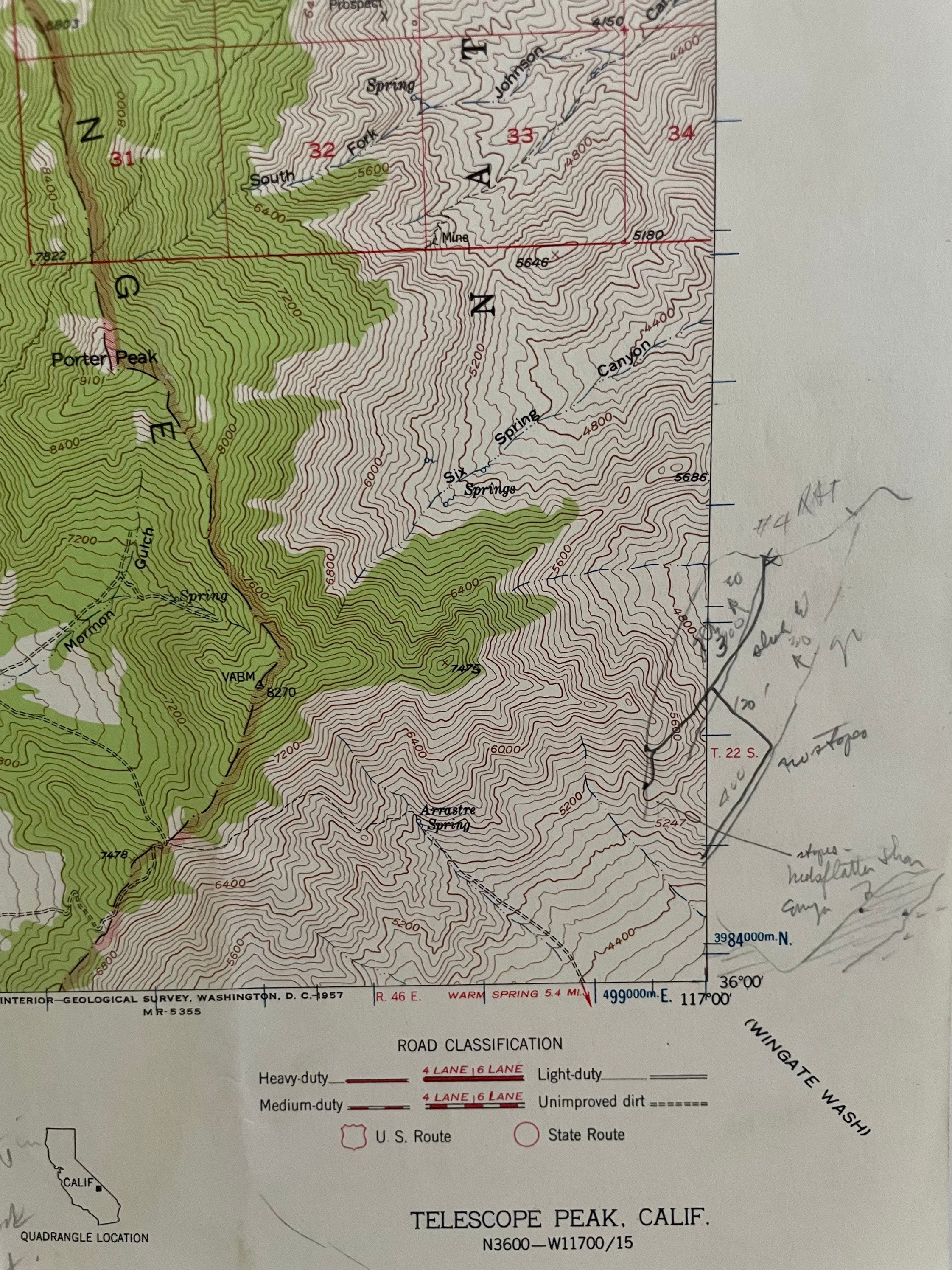
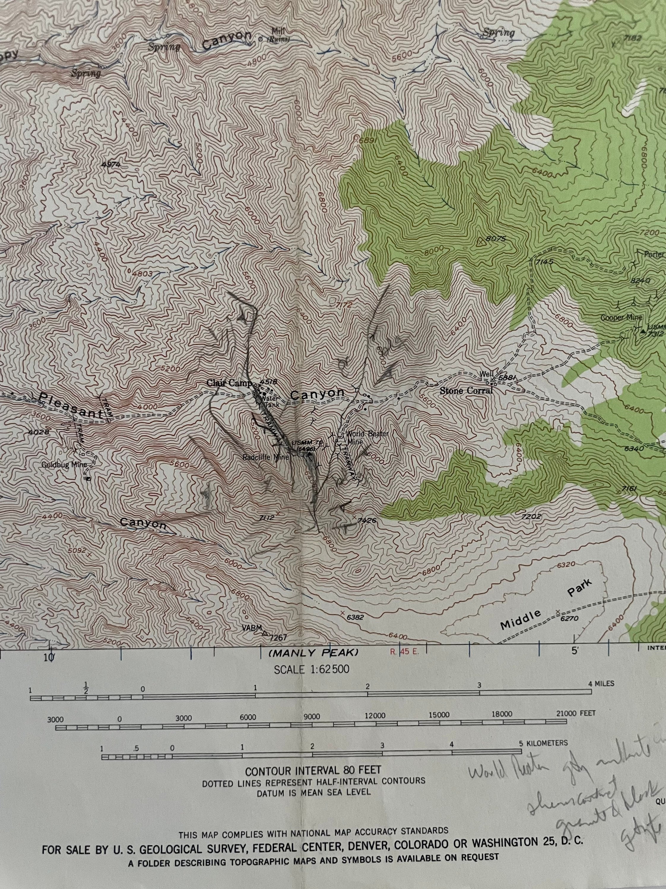
Historical topographic map of the Death Valley National Monument and Telescope Peak, California was printed in 1952.
A wonderful collectible that would make fantastic wall decor for your home.
Featuring the Death Valley National Monument, the Panamint Range in the Mojave desert, and depicts valleys, mountains, camps, jails, springs, and so much more. A compelling visual artifact of the 1950's. A unique historical reference, or art from the West Coast that never goes out of style. Whether you are a collector, an outdoorsman, a historian, or a designer, you can't pass up this opportunity to own this rare find.
This is an authentic 1952 print from the U.S. Geological Survey and NOT a computer reproduction.
Topography from aerial photographs by multiplex methods. Aerial photographs taken 1948.
Scale 1:62500
15 minut series
Contour interval 80 feet
Size: 21" x 17"
Condition: Good condition, pencil markings, commensurate with age.
Perfect for the historian, map-lover, the curious or just as a conversation starter. Wonderful and rare. Maps such as these make great gifts.
We will happily adjust shipping price for multiple purchases. Maps are rolled up and shipped in sturdy mailing tubes.
Shipping from United States
Processing time
1-3 business days
Customs and import taxes
Buyers are responsible for any customs and import taxes that may apply. I'm not responsible for delays due to customs.
Payment Options
Returns & Exchanges
I gladly accept returns and exchanges
Just contact me within: 14 days of delivery
Ship items back to me within: 30 days of delivery
I don't accept cancellations
But please contact me if you have any problems with your order.
The following items can't be returned or exchanged
Because of the nature of these items, unless they arrive damaged or defective, I can't accept returns for:
- Custom or personalized orders
- Perishable products (like food or flowers)
- Digital downloads
- Intimate items (for health/hygiene reasons)
Conditions of return
Buyers are responsible for return shipping costs. If the item is not returned in its original condition, the buyer is responsible for any loss in value.
Frequently Asked Questions
Custom and personalized orders
Please contact me with details regarding your intention, any specific substitutions, or other details and I will be happy to accommodate a custom order for you.